
The other day someone said to me, "I'm geographically challenged, I don't understand where Death Valley is and what the route is like. I wish you had a map on your blog." Wish granted.
I've included these maps to give a perspective on what this looks like. In these two maps, Point A is Badwater (where the official race starts and also where my journey will end), Point B is Whitney Portal (the race finish), Point C is Mahogany Flats campground where our climb up Telescope Peak starts, and Point D is the top of Telescope Peak.
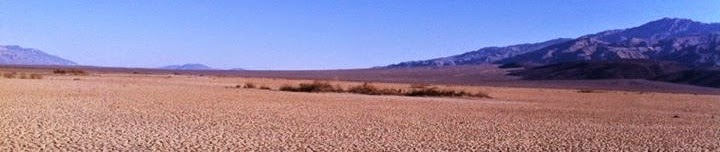
I included the map above to show where Death Valley is, geographically. It's in east central California, along the Nevada state line. It's below the point where California bends like the inside of an elbow on the map. You can see the closest big cities, Las Vegas to the east and Los Angeles to the southwest.
Below is a close-up view of the route. It's 135 miles from A to B. When we reach B at the end of the race, we will turn around and start heading back to A. It looks confusing, but the blue line indicates the road route. As the crow flies, the distance from C to D is about 7.5 miles. We will take a detour off the main highway when we get close to Stovepipe Wells on the way back, and climb the route from C to D and back to C, then we'll go back to the spot where we left the highway, and continue back to point A.

No comments:
Post a Comment